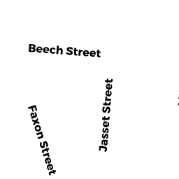
35 DALBY ST
Owner Information
35 DALBY ST MASTER DEED
35 DALBY ST
NEWTON, MA 02458


Property Details
35 DALBY ST is classified as a Other, Open Space (Condominium).
The primary structure on this property was built in 2020. There are 8,468ft2 of built area within this property. There is 4,834ft2 of residential/living space within this property. There are 4 units within this property.
35 DALBY ST is valued at $0. The land is valued at $0 and the structures are valued at $0.
The most recent deed for 35 DALBY ST is recorded at the local registrar in Book 76347, Page 199. 35 DALBY ST was last sold on Friday, December 4, 2020 for $1.
Assessment data from fiscal year 2022.
Flood Data
According to the FEMA National Flood Hazard Layer, this property does not appear to be in a flood zone. It may also be in an area not yet reviewed. Nonetheless, confirm this information prior to taking any action.
To view the flood hazards around this property, create a FEMA "Firmette" Map of the area around 35 DALBY ST.
Broadband Internet Providers
| Provider | Type | Bandwidth (mbps) | |
|---|---|---|---|
| RCN | Cable | 500 | 20 |
| RCN | Cable | 1000 | 20 |
| T-Mobile | Fixed Wireless | 25 | 3 |
| GCI Communication Corp. | Satellite | 0 | 0 |
| HughesNet | Satellite | 25 | 3 |
| VSAT Systems, LLC. | Satellite | 2 | 1 |
| Comcast | Cable | 1000 | 35 |
| Verizon New England Inc. | Fiber | 940 | 880 |
| Verizon New England Inc. | DSL | 10 | 1 |
| Viasat Inc | Satellite | 100 | 3 |
Broadband service provider data from December 2020.
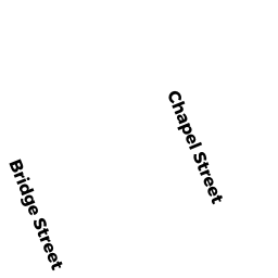
Adjacent Properties
- 50 CHAPEL ST
Single Family Residential owned by COPPOLA VINICIO - 41 DALBY ST
Two-Family Residential owned by NEGROTTI ROBERT J & BARBARA A TRS - 29 DALBY ST
Two-Family Residential owned by 29 DALBY STREET NEWTON LLC - 44 CHAPEL ST
Parking Lots - a commercial open parking lot for motor vehicles owned by CHAPELBRIDGE PARK ASSOCIATES